Products

Roadway Condition

In a single pass, our forward-facing camera delivers validated PCI scores and identifies faded lane markings. Our side-facing cameras inventory roadside trees, flag damaged signs, and inspect sidewalks for cracking and missing curb ramps.

Pavement condition assessment

Modern roadway inventory that eliminates tedious manual logging.

With Placemetry, public works teams spend less time auditing and more time making repairs. A single pass of a vehicle equipped with a Placemetry camera rig captures high-frequency imagery of your pavement.

We process these images to generate Pavement Condition Index (PCI) scores for every segment, delivering accuracy validated against traditional windshield survey methods at a fraction of the cost.

Collection options

Getting your road data is fast and easy.

You choose how the data is collected. We do the rest. We provide PCI scores by segment, photos and color-coded maps, prioritized repair lists, and a straightforward pavement management plan.

CitySnapshot
One-time · Our drivers

We drive your streets with our full-featured Placemetry camera rig, collecting data on every element visible from the public right-of-way. Roadway data is included as part of the drive.

CityStream
Subscription · Your fleet

Permanently mount our full-featured Placemetry camera rig on vehicles your city already operates. Whether these are garbage trucks, street sweepers, or code compliance vehicles, the roadway data is collected automatically.

DIY Road Assessment
Mail-in · You drive

Use the Placemetry “lite” rig:

  1. We mail you our camera.
  2. You stick it on the roof of your car and drive your roads.
  3. Mail the camera back to us. We run your road segments through our AI.
Roadway add-ons

There’s more to roadways than PCI.

CitySnapshot and CityStream use a full-featured Placemetry camera rig that captures everything to the front and to the sides of the road. Get a complete, current inventory of your city’s assets without relying on multiple high-priced contractors.
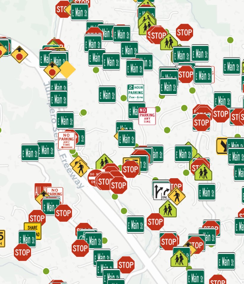
Citywide sign inventory map with MUTCD sign icons

Signs

Visual audits for MUTCD compliance and corridor visibility.

  • Location & Cataloging: Sign position, type, MUTCD classification, facing direction, and post material.
  • Maintenance Flags: Fading, physical damage, leaning posts, and poor nighttime visibility.
  • Occlusion Tracking: Signs blocked by foliage or structures to reduce municipal liability.
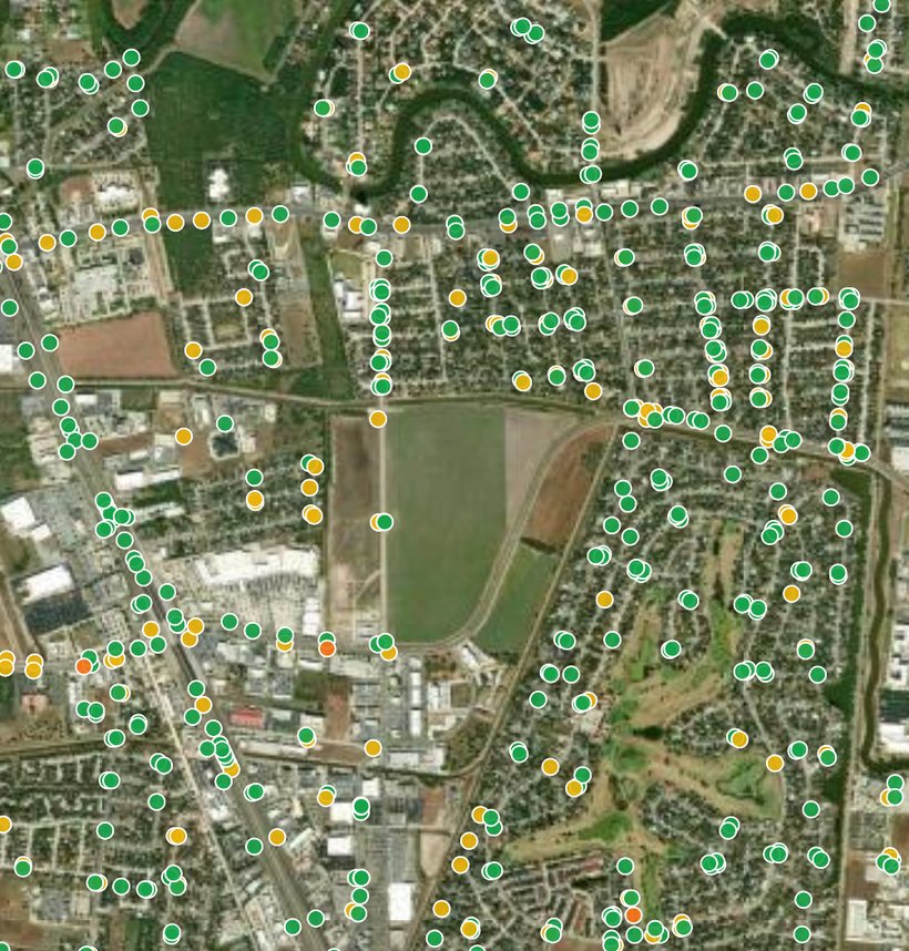
Citywide map of storm drain inlets, each dot colored by condition

Storm drains

Inlet inspections to target maintenance before major storm events.

  • Asset Mapping: Location of catch basins, curb inlets, grates, and outfalls.
  • Blockage Scoring: Trash, sediment, and leaf accumulation levels to prioritize cleaning routes.
  • Structural Defect Flags: Cracked aprons, shifted grates, settling pavement, and standing water.
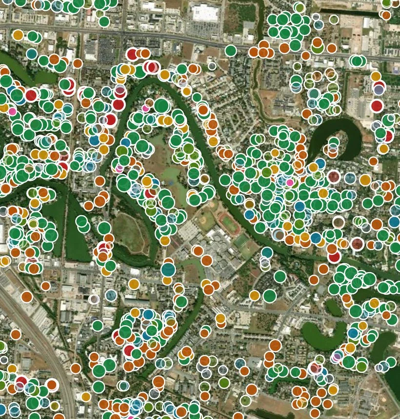
Citywide map of street trees, each dot colored by species

Roadside trees

Street-tree assessments to manage urban canopy hazards.

  • Species & Health: Tree species, trunk size, and canopy condition.
  • Clearance & Pruning Needs: Power line encroachment, vehicle clearance issues, and blocked sightlines.
  • Risk Flags: High-risk trees flagged early to prevent storm damage and liability claims.
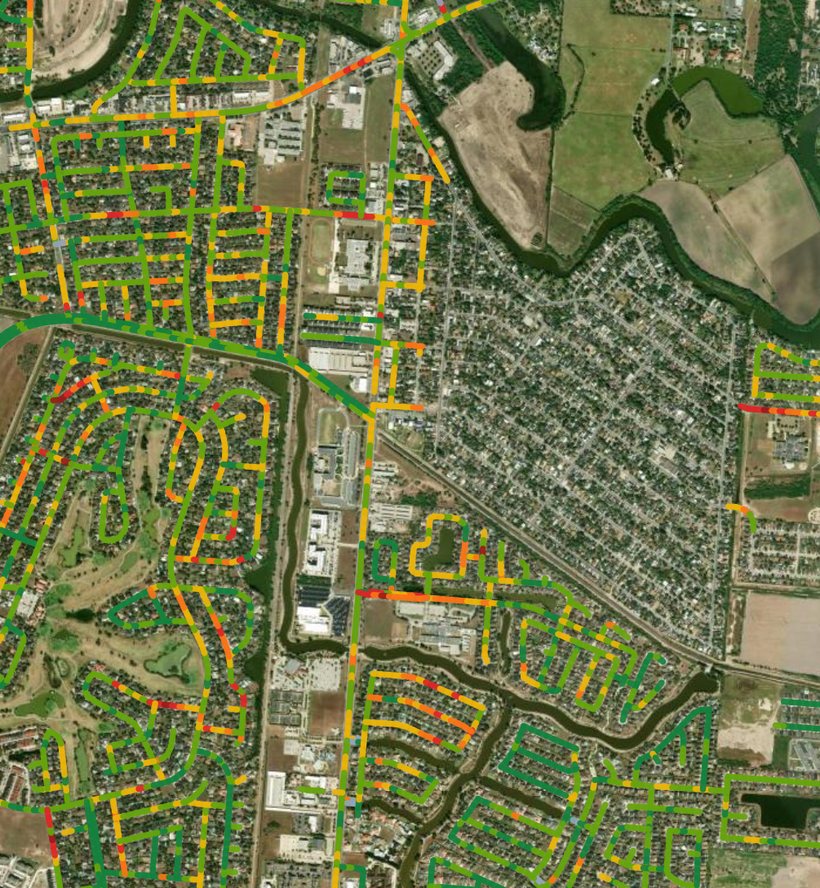
Citywide segment map, color-coded by condition

Sidewalk conditions

Hazard mapping to prioritize repairs and prevent tripping claims.

  • Surface Defect Scoring: Vertical fault displacements, severe cracking, and root upheaval.
  • Curb Ramps: Ramp presence and tactile warning pad conditions.
  • Corridor Gaps: Missing sidewalk connections and hazard points along high-traffic routes.
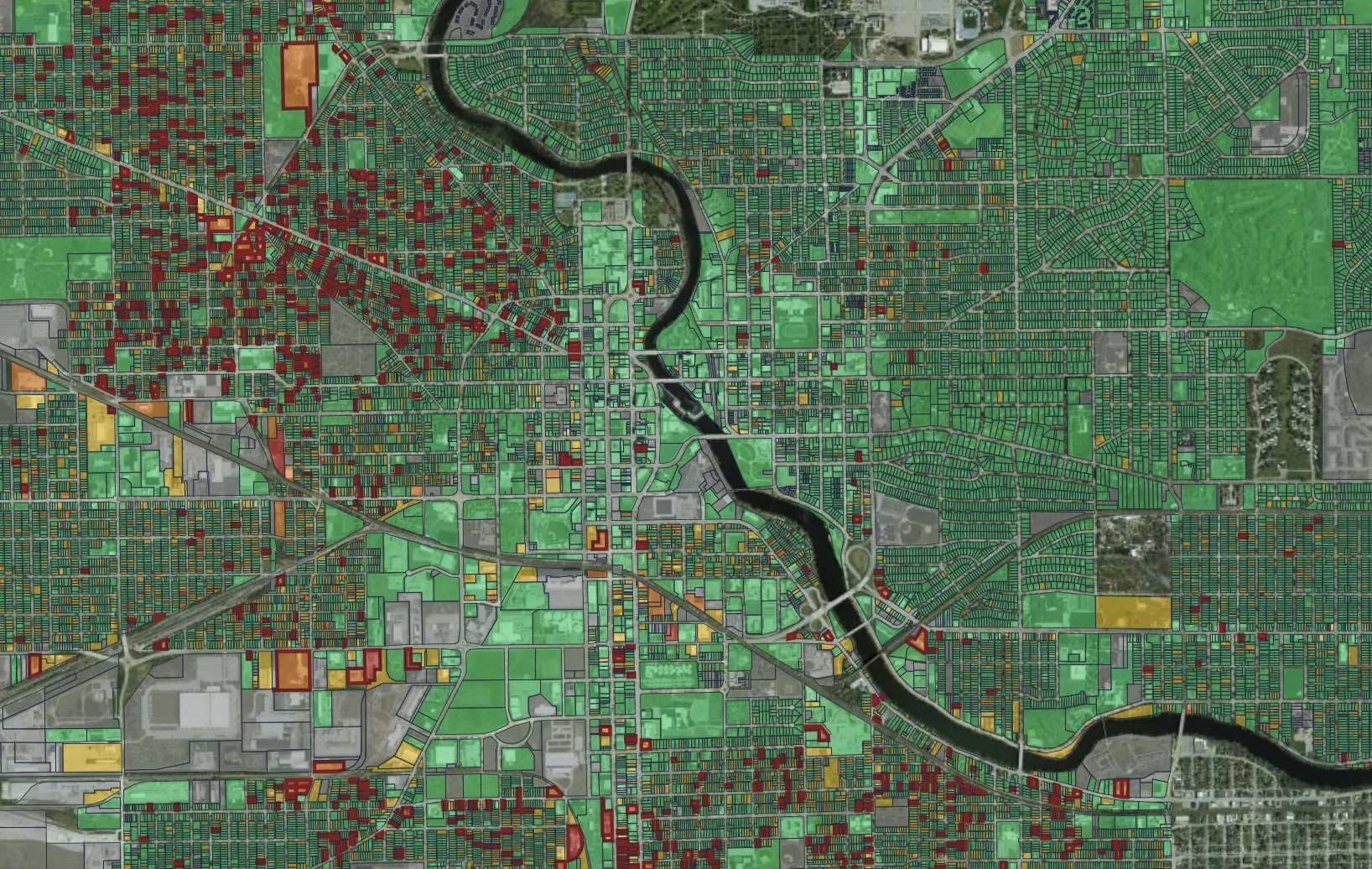
Pavement management

Turn data into prioritized capital plans.

Scores alone don’t fix streets. We turn the inventory into a treatment plan and a ranked project list your public works team can take straight to council.

Match streets to treatments

Every segment is sorted by the work the pavement needs: crack seal, patching, mill and overlay, or reconstruction. Streets that get preventive work now stay off the reconstruction list later.

Rank the project list

Segments are ranked by condition, traffic, and safety exposure. Arterials, school zones, and sidewalk trouble spots come first. Cities can also request custom weights: tell us your priorities and we build the ranking around them.

Show your work

The next drive re-scores every street you repaired. Before-and-after PCI numbers go in the council packet, and residents see their streets getting better.

Ready to see it in action?

Know where your streets stand after a single drive.

Get your free pilot data in three simple steps:

  1. Connect: Tell us what data you need.
  2. Select: Pick a high-priority corridor or neighborhood.
  3. Review: Get a free sample of segment scores with the photo behind every rating.
Schedule a call
Placemetry roadway condition map