Solutions
Public Works & Roadways
We give engineering and street teams on-demand, citywide intelligence so they can fix roads proactively, track infrastructure decay, and deploy maintenance budgets where they do the most good.
We give engineering and street teams on-demand, citywide intelligence so they can fix roads proactively, track infrastructure decay, and deploy maintenance budgets where they do the most good.
Traditional maintenance relies heavily on reactive field reporting, leading to backlogs. The new model is proactive, data-backed maintenance with clear city-wide maps and prioritized repair lists.
With Placemetry, public works leaders aren’t guessing where maintenance is needed or wasting time looking for issues. They’re getting objective data, planning long-term repairs and stretching capital budgets further.
Raw data doesn’t fix roads. We turn street-level detections into clear, actionable tools for public works managers, engineers, and field crews.
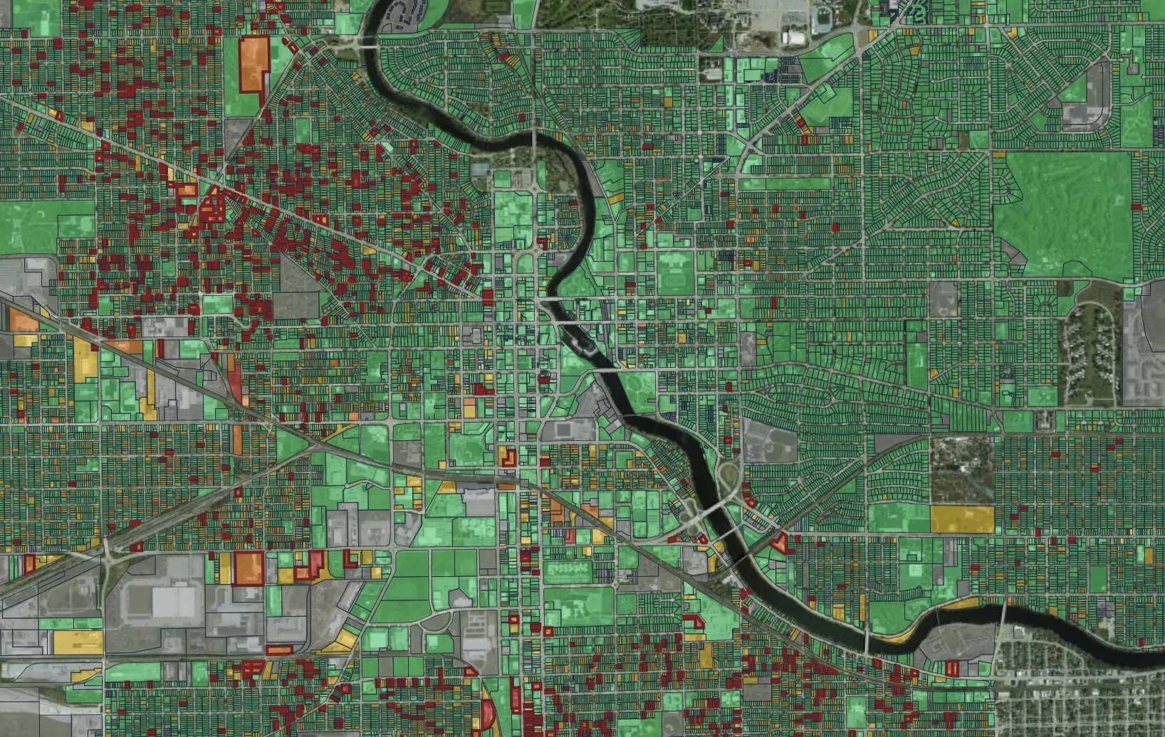
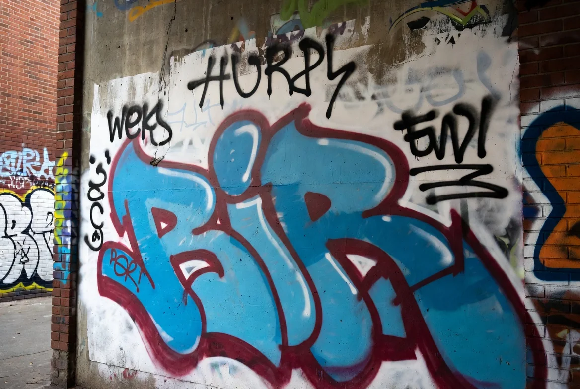
Get a complete, color-coded heat map of everything in the public right-of-way. Filter by pavement condition, graffiti, shopping carts, or any other detection to spot where crews are needed most.
Move beyond 311 queues. We aggregate issues by corridor, severity, and traffic volume so supervisors can dispatch crews to handle entire clusters of work in a single trip.
Repeat drives show pavement decay rates over time and confirm finished work. All maps, lists, and images sync directly with your city’s existing GIS and work management tools.
Get your free public works sample in three steps: