Our mission

Data to build better cities.

We founded Placemetry because it was costly and time-consuming for cities to get a complete picture of their built environment. Housing assessments and code enforcement relied on incomplete, outdated information. We capture current street-level imagery from the public right-of-way and turn it into data that public works, code enforcement, and planning teams can act on. Our team of social scientists and computer vision engineers is based in San Diego, CA.
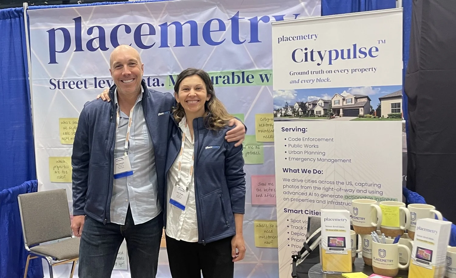
Placemetry co-founders Erik Johnson and Anya Samek at their booth

Placemetry co-founders Erik Johnson and Anya Samek.
Why the name

Geometry measures shapes. Placemetry measures every place.

PLACE · MEH · TREE | (n.) the measurement of every place in a city
Founders’ story

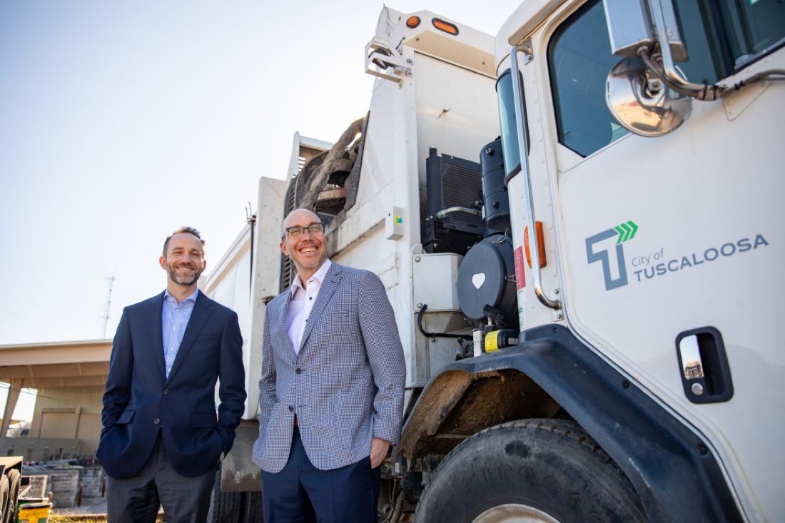
It started with a garbage truck.

In 2020, Erik Johnson was a professor at the University of Alabama, teaching urban economics and publishing research papers on using computer vision models to evaluate the built environment. Then Tuscaloosa COO Brendan Moore visited his class with a problem. The city needed to inventory its built environment but they had just paid contractors $50,000 for a manual survey of just one neighborhood, which was unsustainable.

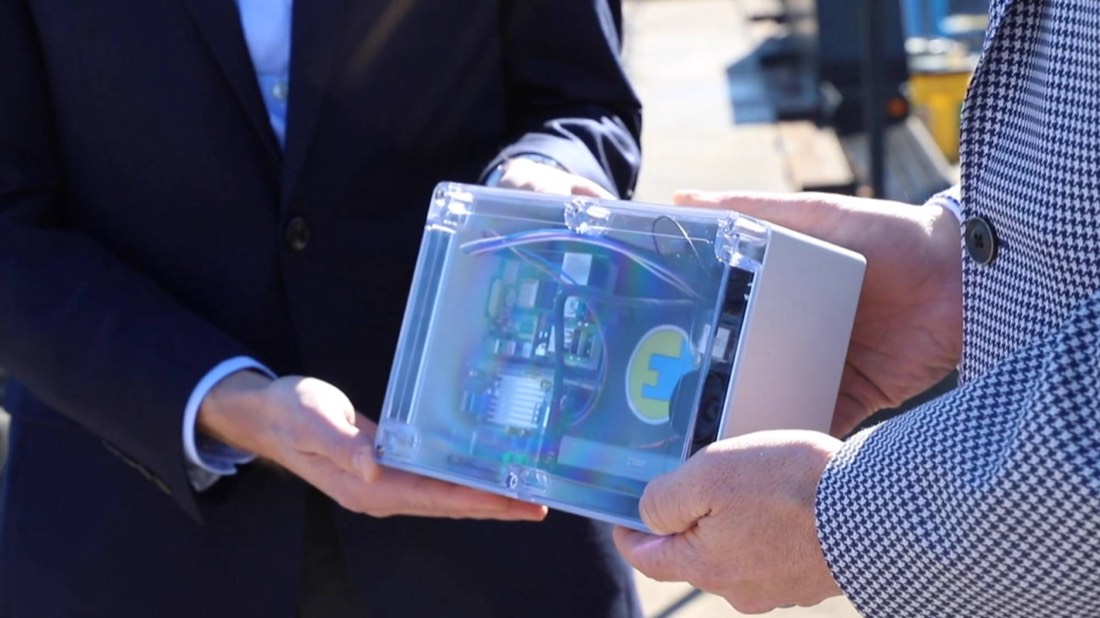
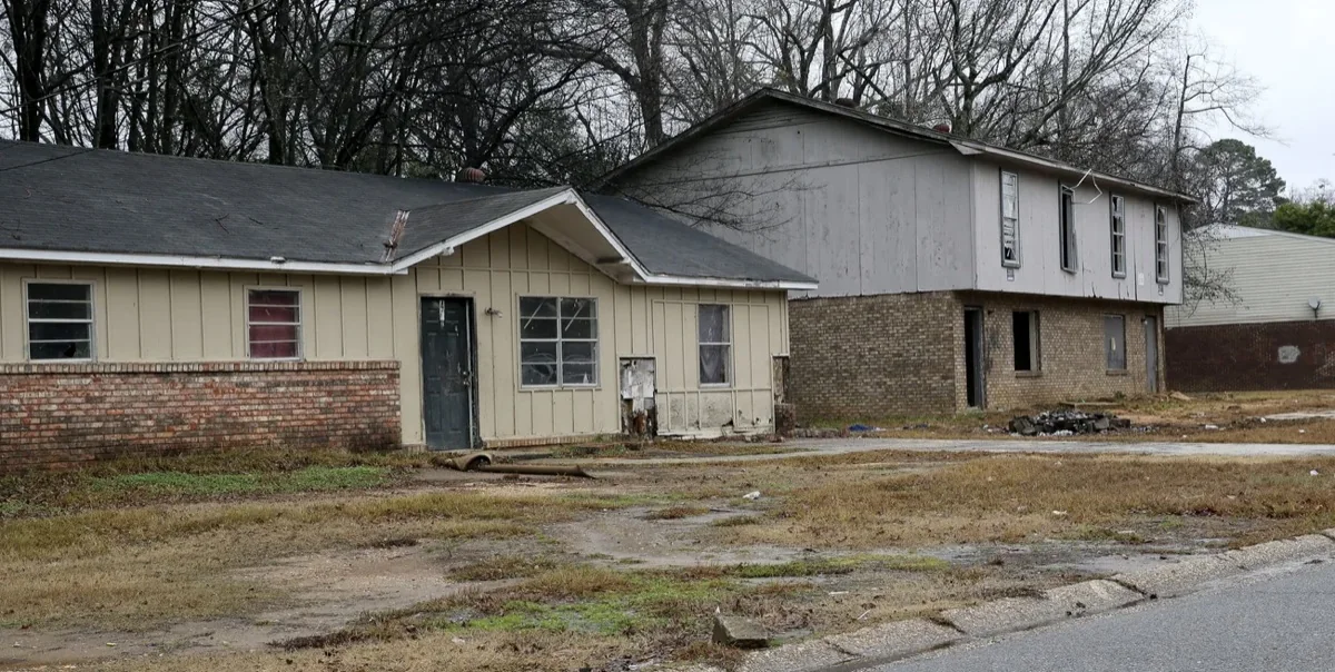
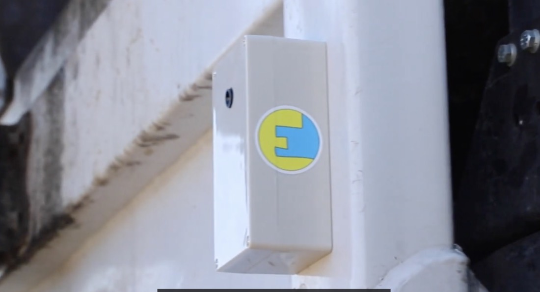
Erik thought his models could speed up that work if he could get a steady stream of citywide imagery. The idea came on a run with Brendan: garbage trucks already drive every street on a fixed schedule. Erik put cameras on Tuscaloosa’s fleet and trained his models to spot early signs of property decay. With that data, the city could reach declining blocks sooner and send Habitat for Humanity to the homes that needed repairs most. Erik and Brendan filed a patent on the approach, which was granted in 2026.

Erik continued doing his research and improving his models at the University of Alabama, and later at UC-San Diego. Alongside his research, Erik founded EEK Labs (later known as City Detect) to offer AI-powered blight detection to more cities. In 2025, Erik decided to build the broader platform he had always envisioned: not just finding code violations but measuring everything that makes a place work. He co-founded Placemetry with UC San Diego professor Anya Samek, adding expertise in behavioral insights.

Placemetry is a second-generation AI platform that goes beyond blight to score road wear, flag missing signs and clogged drains, and spot safety hazards across the whole municipal right-of-way. Cities get continuous visibility at a fraction of what manual surveys cost.

Get started

See why smart cities choose us.

Get your free pilot data in three simple steps:

  1. Connect: Tell us your department’s specific detection needs.
  2. Select: Pick a high-priority neighborhood.
  3. Review: Get a free data snapshot showing exactly what exists on the ground.
Schedule a call
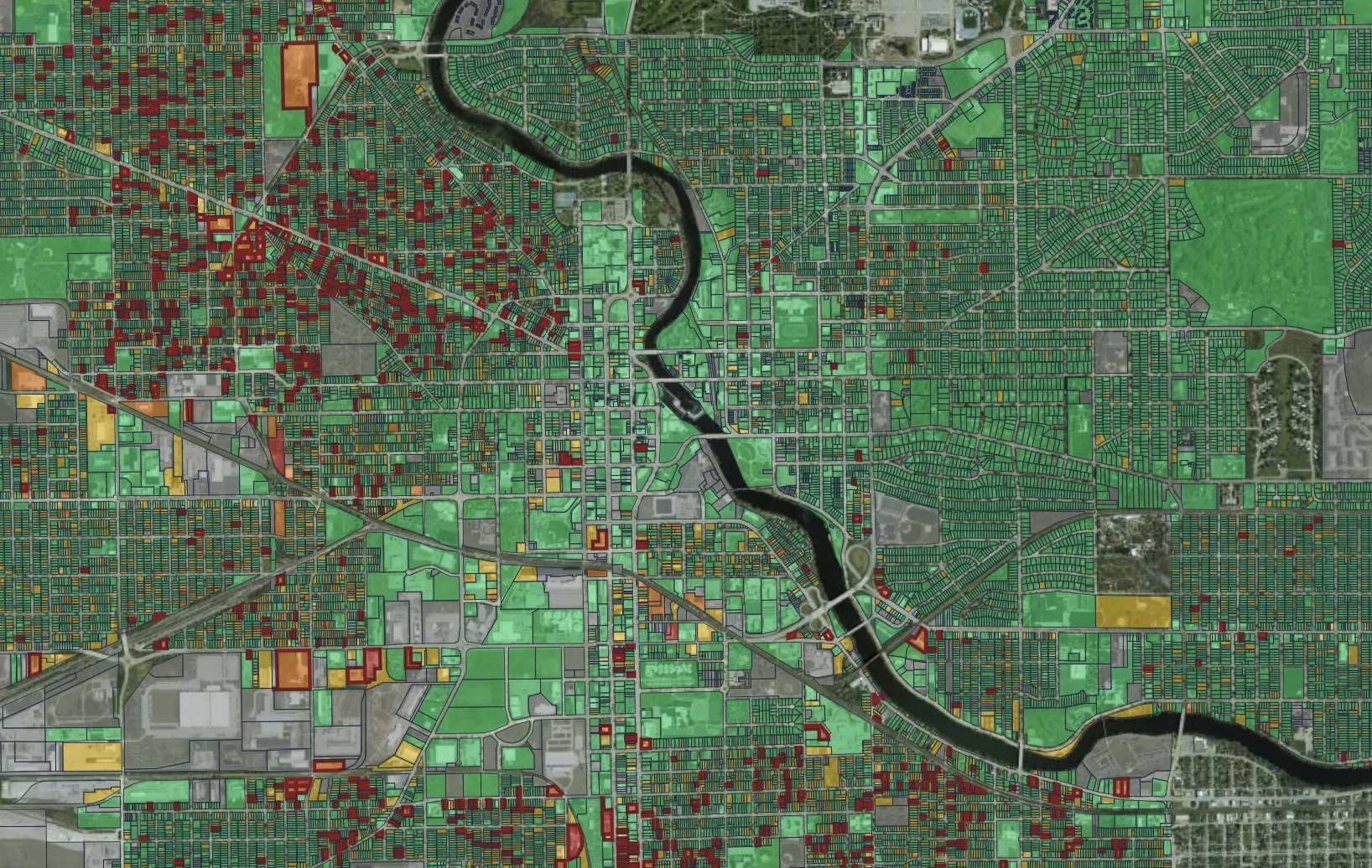
Placemetry parcel condition map