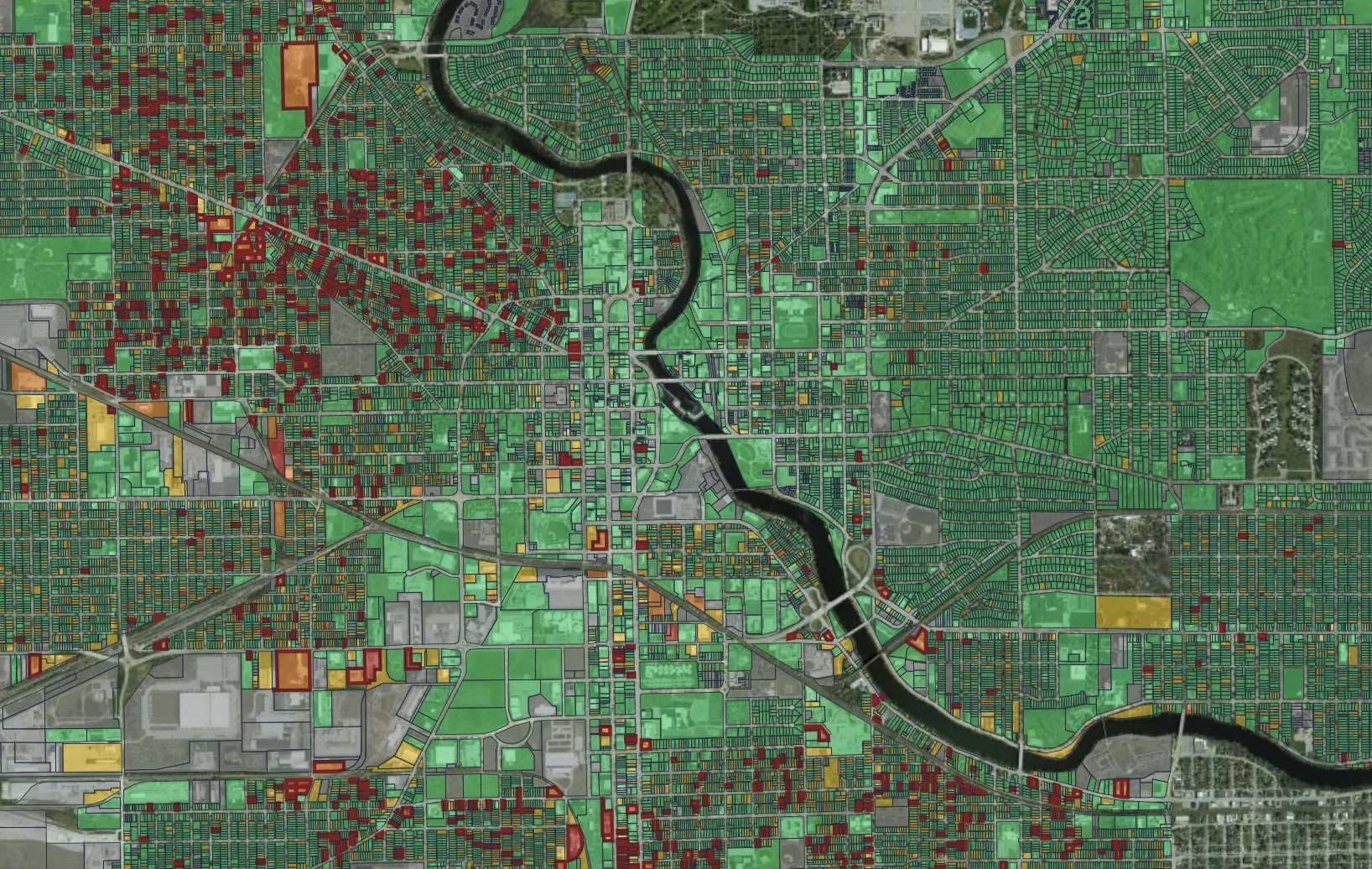
Cities put money into neighborhood improvement, but have a hard time evaluating the impact of the work. We give planners ground-truth data to track district health, measure change, and show council what the investment did.
Is the work making things better?
Where should we focus next?
Show me the before-and-after.
We track neighborhood change as it happens. Photos from each drive turn into citywide heatmaps, so you can see where conditions are improving and where they are slipping. Planners get the photos and the numbers to back funding decisions in every council district.
We provide before-and-after evidence, so staff can compare any street or parcel across drives and see what changed and what didn’t. Early decline detection helps identify where to focus efforts to reduce the spread of blight. Cities can also track commercial corridors, vacant storefronts, and unpermitted construction.
Neighborhood Revitalization draws on both our Roadway Condition and Property Condition products.
We provide reports and program impact metrics that allow you to:
Target funding where it counts. Then show what it fixed.
Get your free neighborhood evaluation in three simple steps: