Solutions

Emergency Management

Our AI models are trained to identify fire and flood risk, parcel by parcel: the wood fence, the brown foliage, the siding an aerial photo alone can’t see. The same imagery documents storm damage after a disaster and gives responders photos on dispatch.

Placemetry CEO Erik Johnson on fire risk in Scripps Ranch, San Diego.

The statistics
0M+
US homes at risk for wildfire
0%
of people underestimate their risk
0
structures destroyed in the Palisades-Eaton fires
$0
saved for every $1 spent on hazard mitigation
Wildfire risk assessment

Fire risk you can see from the street.

Aerial imagery shows where tree cover is, but it misses crucial details. It cannot tell a wood fence from composite, nor can it spot brown foliage or house siding. Our models combine aerial imagery for canopy context with street-level views to capture the specific details that carry fire to a structure.

We used cutting-edge academic research and models of fire spread to create our property fire risk scores. A wooden fence touching a neighbor’s house creates a very different risk than one standing alone in a yard.

This gives you specific, actionable insight. For one home, removing a fence might significantly lower the overall risk. For the house next door, that same fence barely matters because a dead tree is hanging directly over the roof. We also report on compliance with local fire codes, such as Zone Zero in California.

Want to see how it works?

Contact us for a free fire risk report for your home or up to 5 properties you manage.

info@placemetry.com
Storm & disaster impact

Establish pre-disaster baselines to secure recovery funding.

Following a severe weather event, municipal staff must verify what condition impacted properties and public infrastructure were in before the storm. Without pre-disaster baseline records, FEMA reimbursements get delayed during damage scoping as adjusters question pre-existing wear and tear.

Having a baseline survey through Placemetry provides the pre-disaster baseline record. After the storm, request a new survey or use your CityStream vehicle to capture imagery and quantify changes.

Data on dispatch

Navigational context on dispatch.

First responders gain clear access-route imaging to identify roadway blockages and entry points before arriving on scene.
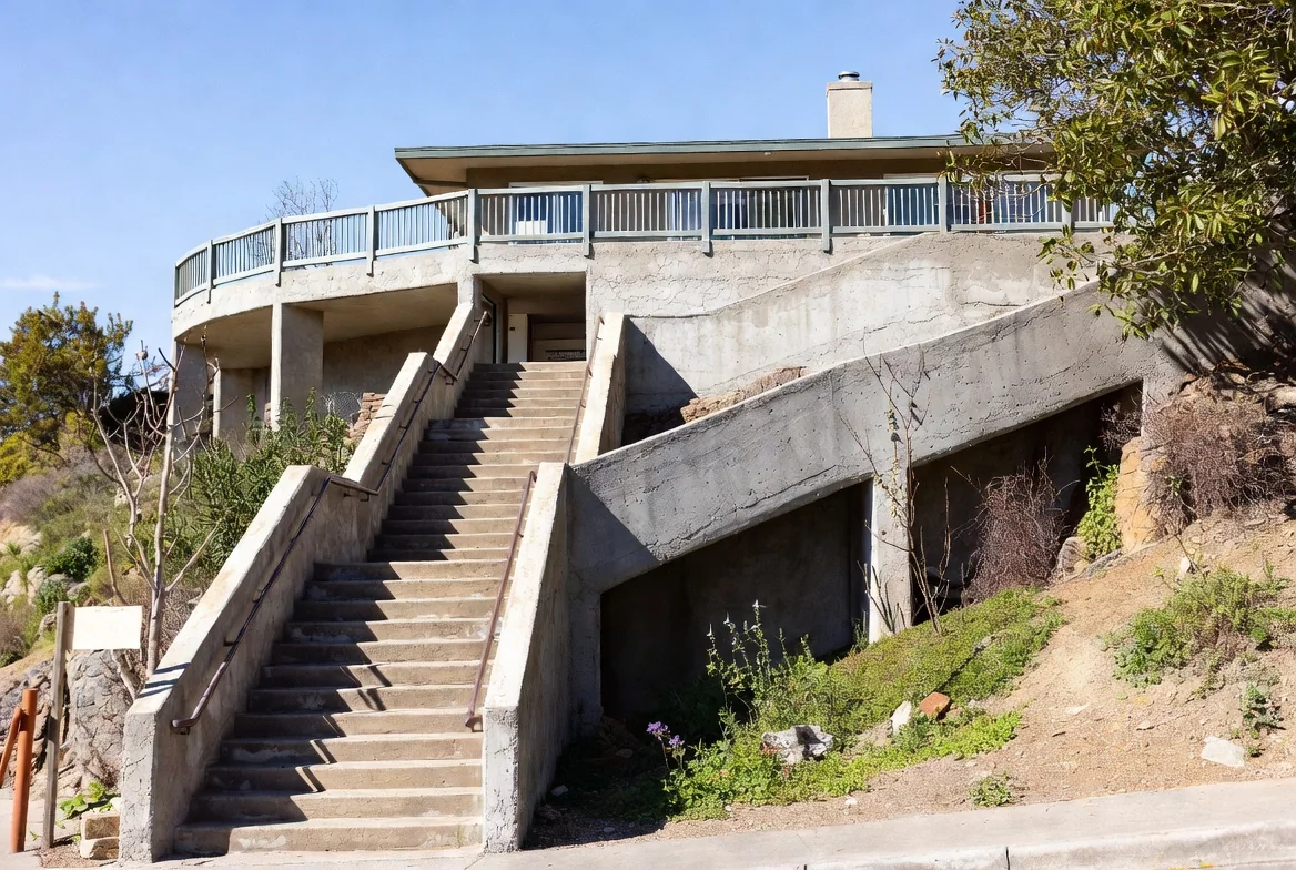
A hillside house reachable only by a long exterior staircase

On-demand data about these stairs for emergency responders.
Ready to see it in action?

Protect your neighborhoods when disaster strikes.

Get your free pilot data in three simple steps:

  1. Connect: Tell us which departments need the data.
  2. Select: Pick a high-priority corridor or neighborhood.
  3. Review: Get a free sample with the photo behind every score.
Schedule a call
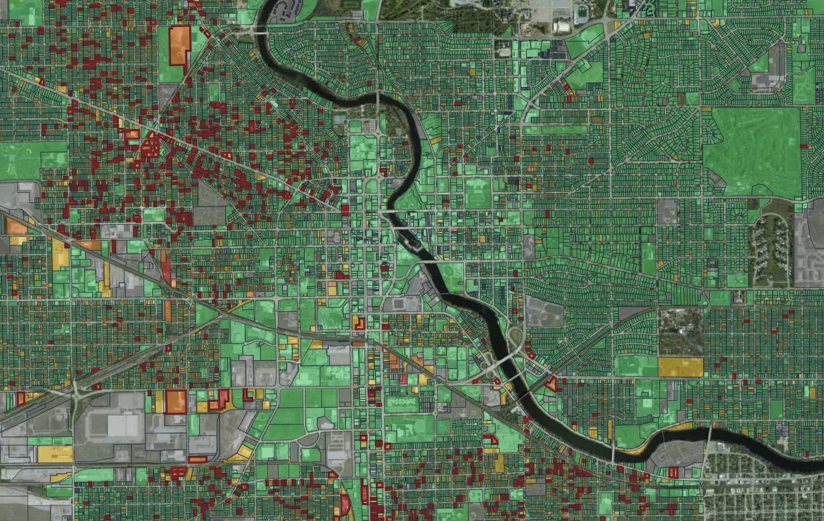
Placemetry property condition map