
placemetry
where data drives progress
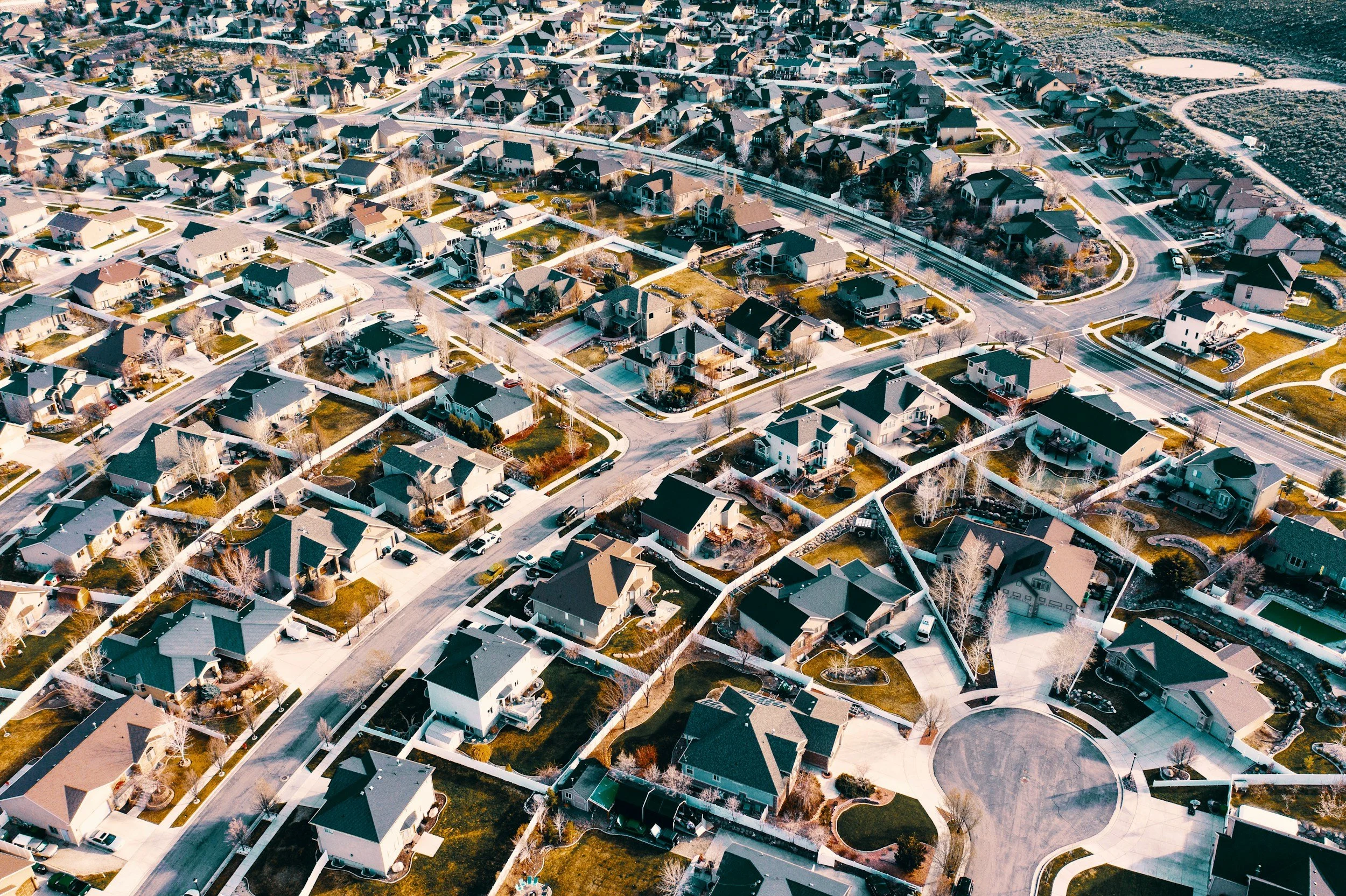
We regularly drive cities across the US, capturing photos from the public right-of-way and generating actionable insights on properties and infrastructure for cities, real estate and insurance.
what we do
street level insights at your fingertips
We leverage advanced AI to deliver timely access to data on properties, neighborhoods, and infrastructure. By analyzing vast visual datasets, we provide actionable insights for municipalities, real estate and insurance. Whether optimizing urban planning, assessing investment opportunities, or monitoring property conditions, we empower stakeholders with precise, real-time intelligence for swift, informed decisions.
get to
know us
We founded Placemetry in 2025 with the goal of helping people use data to build better cities. By leveraging AI, we provide the data and analysis to make cities livable, equitable and sustainable. Our team of urban economists, AI experts and behavioral scientists is based in San Diego, CA.

“After spending 15 years as a Professor doing research on urban settings, I decided to put my research into practice. At Placemetry, we generate better data, to build better places.”
Erik, Founder of Placemetry
